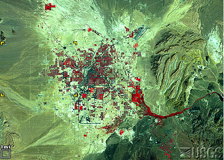
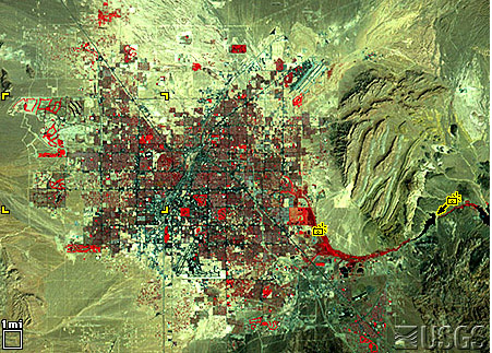
Site #1
Las Vegas – September 13, 1972 Landsat 1 MSS bands 4, 2, 1 |
Las Vegas - September 10, 1992 Landsat 5 MSS bands 4, 2, 1 |
 |
 |
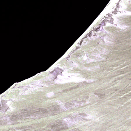
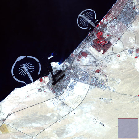
Site #2
Dubai - January 22,1973 Landsat 1 MSS bands 6, 5, 4 |
Dubai - October 11, 2006 Landsat 7 ETM+ bands 4, 3, 2 |
 |
 |
Site #3
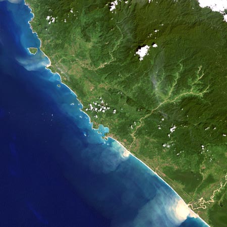
Acheh, December 13, 2004 Landsat 7 ETM+ bands 3,2,1 |
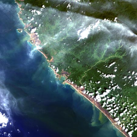
Acheh, December 29, 2004 Landsat 7 ETM+ bands 3,2,1 |
 |
 |
Site #4
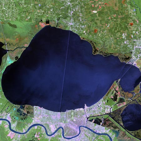
New Orleans and Lake Pontchartrain Apr. 26, 2000 Landsat 7 ETM+ bands 7, 4, 2 |
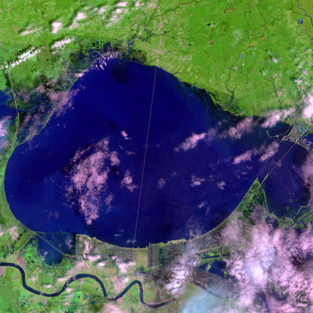
New Orleans and Lake Pontchartrain August 30, 2005 Landsat 7 ETM+ bands 7, 4, 2 |
 |
 |
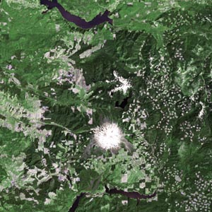
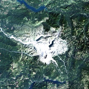
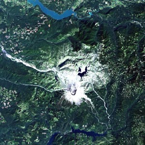
Site #5
Mt. St. Helens July 29, 1972 Landsat 1 MSS bands 7, 4, 2 |
Mt. St. Helens September 22, 1990 Landsat 5 TM bands 3, 2, 1 |
Mt. St. Helens September 22, 1999 Landsat 7 EMT+ bands 3, 2, 1 |
 |
 |
 |